Floating car data analytics
Travel times, delays at junctions and the reconstruction of signal timings – network-wide from vehicle trajectories.
What floating car data are
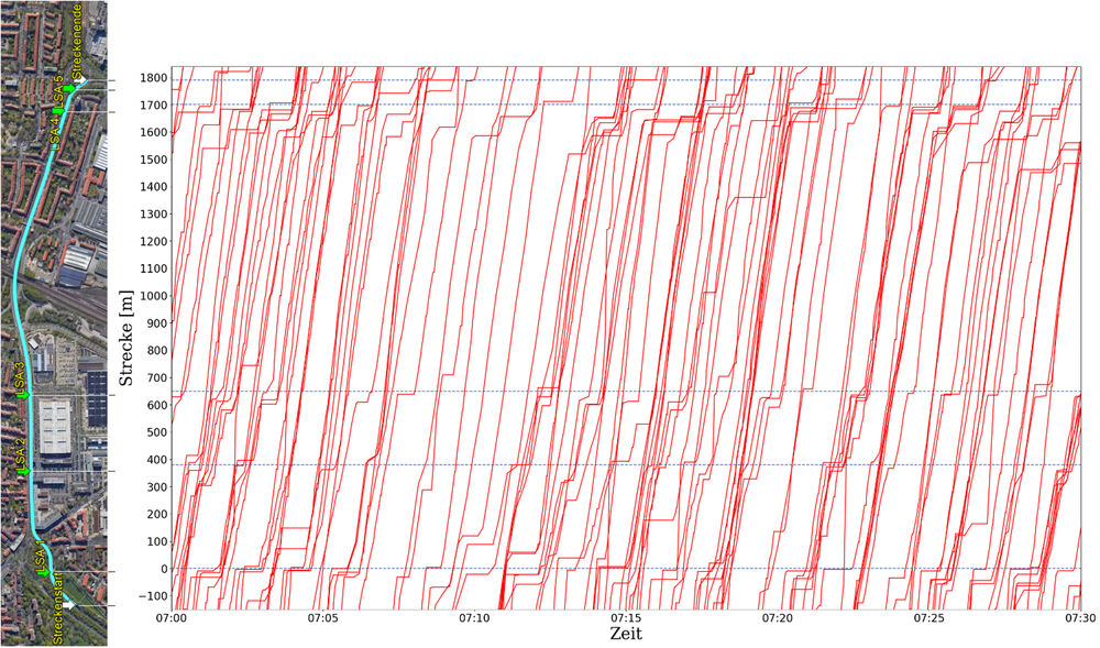
Floating car data are anonymised GPS trajectories from navigation devices, smartphones or on-board units. They cover larger areas and longer periods than a local video survey – with a smaller sample, but without any roadside infrastructure or manual data collection.
Your benefits
Long observation periods even out random fluctuations, and the analysis is not limited in space as long as data are available – ideal for long-term, large-scale studies. Our own software tools process even large datasets efficiently.
What we analyse
- Travel times and speeds per road section
- Delays at junctions
- Cycle and green times of traffic signals – reconstructed from trajectories, without access to the controller
- Green wave analyses along corridors
- Congestion analyses: where, when and for how long
- Large-scale, long-term origin-destination patterns
What you use the results for
Network analyses
Find weak points in the network before planning counts or measures.
Checking signal programmes
What the signal is actually running, whether the green wave works – and how this affects waiting times.
Traffic management
Travel times, congestion and delays as the basis for traffic status and travel time information.
What you receive
Indicators per section and junction as statistical distributions – such as section speeds, delays and capacities at traffic signals.
From our own research
Our method for reconstructing signal timings comes from our own research: Fourati & Friedrich (2021), Transportation Research Part C 130.
Understand your network from trajectories?
Tell us the study area and your question – we will check what the data can deliver.